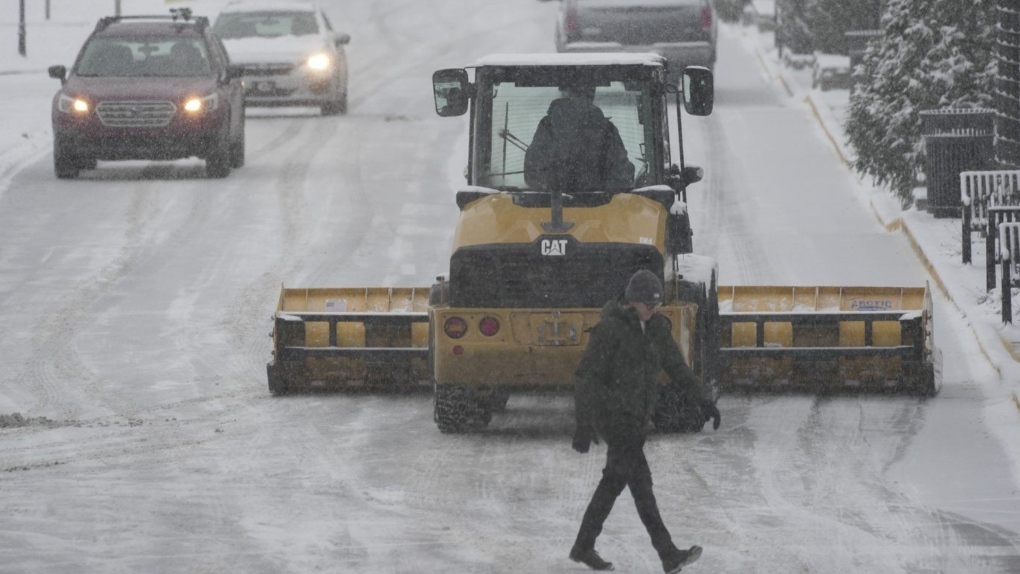
Heaviest snowfall in decade possible as wintery blast roils parts of US | Image:
AP
Washington: A blast of snow, ice, wind and plunging temperatures stirred up dangerous travel conditions in parts of the central US on Sunday, as a disruptive winter storm brought the possibility of the “heaviest snowfall in a decade” to some areas.
Snow and ice blanketed major roadways in nearly all of Kansas, western Nebraska and parts of Indiana, where the state’s National Guard was activated to help any motorists who were stuck. At least 8 inches of snow were expected, particularly north of Interstate 70, as the National Weather Service issued winter storm warnings for Kansas and Missouri, where blizzard conditions were reported. The warning extended to New Jersey for Monday and into early Tuesday.
“For locations in this region that receive the highest snow totals, it may be the heaviest snowfall in at least a decade,” the weather service said early Sunday.
About 63 million people in the US were under some kind of winter weather advisory, watch or warning on Sunday, according to Bob Oravec with the National Weather Service.
The polar vortex of ultra-cold air usually spins around the North Pole. People in the US, Europe and Asia experience its intense cold when the vortex escapes and stretches south.
Studies show a fast-warming Arctic is partly to blame for the increasing frequency of the polar vortex extending its icy grip.
Snow and ice in the forecast In Indiana, snow fully covered portions of Interstate 64, Interstate 69 and US Route 41, prompting Indiana State Police to plead with motorists to stay off the roads as plows worked to keep up with the pace of the precipitation.
“It’s snowing so hard, the snow plows go through and then within a half hour the roadways are completely covered again,” Sgt. Todd Ringle said.
Part of I-70 was closed in central Kansas by Saturday afternoon. Roughly 10 inches (25 centimeters) of snow had fallen in parts of the state, with snow and sleet totals predicted to top 14 inches for parts of Kansas and northern Missouri.
Parts of upstate New York saw 3 feet (0.9 metres) or more of snow from a lake effect event expected to last until late Sunday afternoon.
The storm was then forecast to move into the Ohio Valley and reach the Mid-Atlantic states on Sunday and Monday, with a hard freeze expected as far south as Florida.
Car wrecks start as storm hits The National Weather Service warned that travel in numerous states, including Kansas and Missouri, could be “very difficult to impossible”.
Indiana State Police reported a handful of spinouts and crashes Sunday.
A day earlier a fire truck, several tractor-trailers and passenger vehicles overturned west of Salina. Rigs also jackknifed and went into ditches, state Highway Patrol Trooper Ben Gardner said. He posted a video showing his boots sliding across the highway blacktop like he was on ice skates. He begged people to stay off the roads.
Governors in neighboring Missouri an
Read More

