BEIJING: Construction activity appeared under way on both the Indian and Chinese sides of the border high in the Karakoram mountains a week after a deadly clash in the area left 20 Indian soldiers dead, satellite images showed.
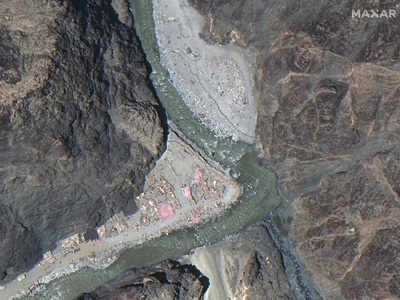
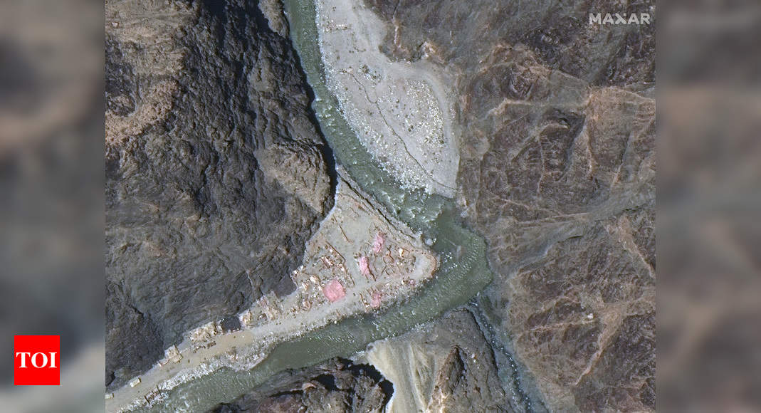
The images released this week by Maxar, a Colorado-based satellite imagery company, show new construction activity along the Galwan River Valley, even as Chinese and Indian diplomats said military commanders had agreed to disengage from a standoff there.
The images appeared to show that the Indians had built a wall on their side and the Chinese had expanded an outpost camp at the end of a long road connected to Chinese military bases farther from the poorly defined border, according to experts.
The contradictions in words and deeds showed the fragility of an agreement following the worst violence since the two nations went to war in 1962, experts said.
China has said that India first changed the status quo last August when it split the state of Jammu and Kashmir into two Union Territories – the territory of Jammu and Kashmir and the territory of Ladakh, p

