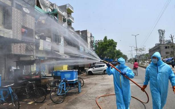
The Union Health Ministry on Friday listed 130 districts in the country in the red zone, 284 in the orange zone and 319 in the green zone for a week after May 3, ahead of the extension of the second phase of the nationwide lockdown.
Under this classification, a district will be considered under green zone if there has been no confirmed case of COVID-19 so far or if there is no reported case since last 21 days in the district. Red zones are identified based on total active cases, doubling rate of confirmed cases, extent of testing and district feedback.
Full list of red, orange and green zone districts
Maharashtra, Delhi and Gujarat are among the States with a heavy COVID-19 load as per the list.
The new classification of districts was announced following a video-conference chaired by the Cabinet Secretary on April 30 with the Chief Secretaries and Health Secretaries of the States.
The classification of districts comes as the country recorded 1,993 new cases of COVID-19, taking the total to 35,365 with a recovery rate of 25.37%.
Since Thursday, 77 deaths were reported, taking the total number of deaths to 1,152, the Ministry said.
Coronavirus | State-wise tracker for coronavirus cases, deaths and testing rates | Interactive map of confirmed coronavirus cases in India
The State Health Departments reported 1,182 deaths with 25,074 active cases out of a total of 35,555 cases. Kerala did not report any new case on Friday.
Identifying pockets
In a letter to the Chief Secretaries of all States and UTs, Union Health Secretary Preeti Sudan said, “It is important to ensure that we identify pockets of critical interventions for a focused management of COVID -19 at the field level”.
The list will be revised on a weekly basis or earlier and communicated to the States for follow-up action, the letter said.
Ms. Sudan said that in buffer zones, extensive surveillance through monitoring of ILI/SARI (influenza-like illness and severe acute respiratory infections) cases in health facilities had to be taken up. “The containment zones in districts have to be delineated based on mapping of cases and contacts, geographical dispersion of cases and

