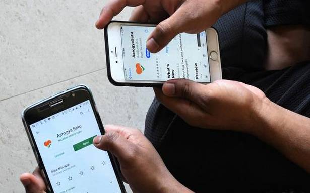
To “complement” the Arogya Setu App, a government endorsed application that helps trace the contacts of those who may have been infected by COVID-19, the Survey of India (SoI), the country’s apex map maker has made public a trove of maps.
COVID-19 | Interactive map of confirmed coronavirus cases in India
This could improve geospatial data as well as help develop maps that could be customised to a variety of ‘COVID-related applications’ such as healthcare facilities, infection clusters and disaster management, according to officials associated with the project.
Also read | Coronavirus India lockdown Day 21 live updates
“The platform is initially expected to strengthen the public health delivery system of the State and Central governments and subsequently provide the necessary geospatial information support to citizens and agencies dealing with the challenges related to health, socio-economic distress, and livelihood challenges,” the Department of Science and Technology, which oversees the SoI,

