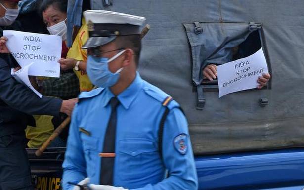
The story so far: The dispute over Kalapani, which lies on the easternmost corner of Uttarakhand’s Pithoragarh district, between Nepal and India was revived in November 2019 when India published a revised political map showing the newly created Union Territories of Jammu and Kashmir and Ladakh. Both India and Nepal lay claim to Kalapani. The map showed Kalapani as part of Pithoragarh district. Nepal protested immediately and drew attention to the lingering issue. On May 8, India inaugurated the Darchula-Lipulekh pass link road, cutting across the disputed Kalapani area which is used by Indian pilgrims to Kailash Mansarovar. Nepal hit back by summoning the Indian Ambassador to Nepal, Vinay Mohan Kwatra, to convey a formal protest.
Also read: Cold neighbourhood: On India-Nepal ties
Where is Kalapani located?
Kalapani is a region located in the easternmost corner of Uttarakhand’s Pithoragarh district. It shares a broder on the north with the Tibet Autonomous Region of China and Nepal in the east and south. The region resembles a slice of cake wedged in between Limpiyadhura, Lipulekh and Kalapani. The area is in India’s control but Nepal claims the region because of historical and cartographic reasons. The area is the largest territorial dispute between Nepal and India consisting of at least 37,000 hectares of land in the High Himalayas.
Also read: New Nepal map is based on historical documents, says top Kathmandu official
What is the cause of the dispute?
The Kalapani region derives its name from the river Kali. Nepal’s claims to the region is based on this river as it became the marker of the boundary of the kingdom of Nepal following the Treaty of Sugauli signed between the Gurkha rulers of Kathmandu and the East India Company after the Gurkha War/Anglo-Nepal War (1814-16). The treaty was ratified in 1816. According to the treaty, Nepal lost the regions of Kumaon-Garhwal in the west and Sikkim in the east. According to Article 5, the King of Nepal gave up his claims over the region west of the river Kali which originates in the High Himalayas and flows into the great plains of the Indian subcontinent. According to the treaty, the British rulers recognised Nepal’s right to the region that fell to the east of the

