
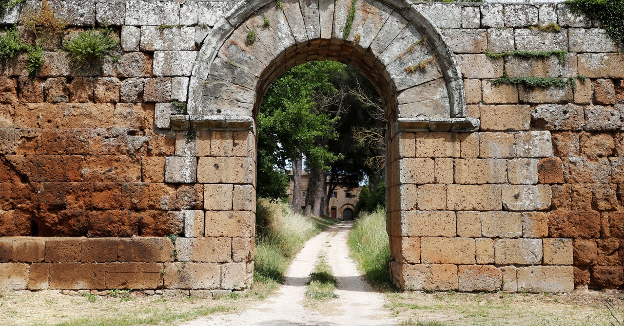
Falerii Novi was once a walled town just north of Rome, likely founded around 241 BC as a relocation site for a Falisci tribe that had rebelled against the Romans. Located on a volcanic plateau, archaeologists surmise that the new site was chosen because it wasn’t as easy to defend, thereby discouraging further uprisings. There were likely some 2,500 residents during the third and fourth centuries BC. The ruins are deep underground, but a team of archaeologists from the University of Cambridge and Ghent University in Belgium have used ground-penetrating radar (GPR) to map the complete city. They described their findings in a recent paper in the journal Antiquity.
ARS TECHNICA
This story originally appeared on Ars Technica, a trusted source for technology news, tech policy analysis, reviews, and more. Ars is owned by WIRED’s parent company, Condé Nast.
Dating back to 1910, when the first patent for a radar system to locate buried objects was filed, GPR has been used to measure the depth of glaciers, to study bedrock and groundwater, and to locate unexploded land mines, buried sewers, and utility lines, among other applications. The 1972 Apollo 17 mission—the final moon-landing mission of NASA’s Apollo program—used a GPR system called the Apollo Lunar Sounder Experiment (ALSE) to record depth information of the lunar surface. The method has also emerged in recent years as a powerful tool for archaeological geophysics, since it is a noninvasive means of detecting and mapping artifacts, features, and key patterns beneath the surface.
GPR is distinct from another popular method, lidar, which relies on infrared light from lasers rather than radio waves to map terrain. An electromagnetic pulse is directed into the ground, and any objects or layering (stratigraphy) will be detectable in the reflections picked up by a receiver, just like regular radar. How long it takes for the echoes to return indicates the depth, and different materials will reflect the incoming waves differently. The data can then be plotted to create detailed maps of those underground features.
Falerii Novi was first excavated in the 1990s, and over the ensuing decades archaeologists have identified warehouses, shops, marketplaces, a theater, and a forum using various noninvasive techniques, including magnetometry—a method that measures the direction, strength, or relative change of a magnetic field at a given location to reveal details beneath the s