The Cusco region of Peru has about 1.2 million residents—and, like many locations on Earth, not nearly enough ventilators for the people who might require them during the ongoing pandemic. In an effort to stem the rate of Covid-19 infections, and therefore the need for medical equipment that doesn’t exist locally, the Peruvian government put the country on lockdown in mid-March. As in many places across the globe, that meant lots of people couldn’t do their work, which meant they couldn’t get paid. To help, Peru’s national government wanted to give emergency funds to particularly vulnerable families. But who are those families? And where are they? A group called Humanitarian OpenStreetMap, or HOT, is working to help find them in the Cusco region.
HOT, founded in 2010, organizes volunteers to map places with a dearth of geospatial information. They often do their work in response to disasters like floods, earthquakes, hurricanes, and outbreaks, including those that, like Covid-19, qualify as pandemics. HOT’s crowdsourced mapping efforts add to the OpenStreetMap, a free and editable representation of the world. It’s basically a geographical wiki.

Should I Stop Ordering Packages? (And Other Covid-19 FAQs)
Plus: What it means to “flatten the curve,” and everything else you need to know about the coronavirus.
For HOT, the focus—pandemic or not—is always on places where data is sparse, not the cities where you can say: “Siri, show me a 7-11.” And there are a lot of those. “We estimate around 1 billion people live in places that are completely unmapped,” says Rebecca Firth, HOT’s director of community and partnerships.
The degree to which your part of the world is laid out in 2-D tends to correlate with your area’s wealth. “Essentially, up until now, mapping has been something that is the preserve of the elite,” says Firth, because it involves lots of training, special equipment, and expensive software. But HOT turns that on its head, gathering data like satellite imagery and creating an interface that lets laypeople transform it. Users do things like can trace roads, tag houses, note businesses, or pin down bus stops. “Anyone anywhere can contribute a few minutes,” says Firth.
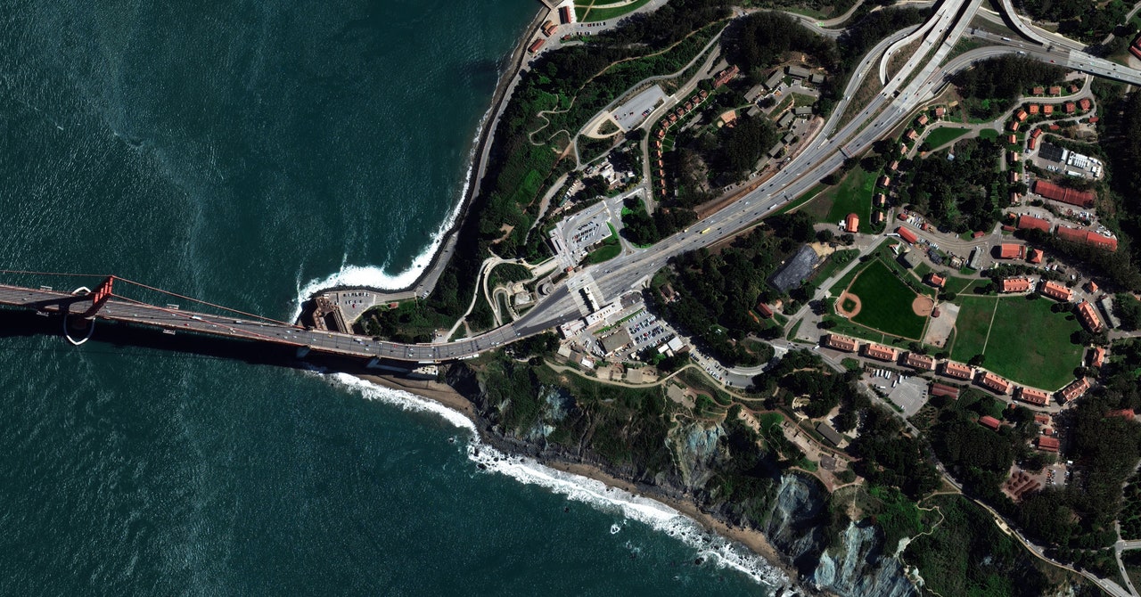
In general, HOT relies on donated satellite imagery to create its maps—and so does this Peruvian project in particular. Since the phrase “social distancing” entered our collective lexicon, you’ve probably seen trippy pandemic pictures captured by satellites. They show the highways through Los Angeles looking as empty as a deep-cut midwestern section of I-80. They show tourist attractions cleared of crowds. Parking lots full of unrented cars. Planes sitting packed together, going 0 mph on runways. That stuff is interesting, and can help researchers take stock of our stayings-home, our travel patterns, and the economic effects of the pandemic. But it can also seem a little bit gee-whiz (Wow! Isn’t traffic light?) without a lot of bang.
Data from satellites, though, can play a role larger than showing us that we stopped going places: It can help reveal where to deliver help to people—and which spots on the globe might need aid next. When HOT mobilizes its volunteers during a disaster, it sets up mapping projects at the request of a group in need, like a government or an NGO. Disaster responders and those being affected all need to know where to find hospitals, pharmacies, and stores. They also need to see the roads that will let them transport food and medicine to those in need, and to count the houses in the area so they’ll know how many people actually live there. That can help aid workers for example, decide how many vaccines to bring into the field. In Peru, that kind of work, maps combined with demographic data, will help the government get cash—around $107 (US)—to those quarantined near Cusco.
“Buildings and roads aren’t visible on the map yet, but you

